


Jamaica has begun upon updating hydrographic charts in key maritime developmental areas to improve coastal navigation, marine infrastructure works and other maritime activities, with assistance from the UK Government. United Kingdom…

Jamaica has begun upon updating hydrographic charts in key maritime developmental areas to improve coastal navigation, marine infrastructure works and other maritime activities, with assistance from the UK Government. United Kingdom…

22 December 2017 – The United Kingdom Hydrographic Office (UKHO) has chartered two boats to survey the waters off Grand Cayman and Cayman Brac as part of the UK’s Overseas…

Further investment in crew training needed to reduce risks of ECDIS non-compliance The United Kingdom Hydrographic Office (UKHO) has called for ship owners, operators and managers to exercise greater vigilance…

5 new ENCs to be released in ADMIRALTY Vector Chart Service The United Kingdom Hydrographic Office is to release five new Electronic Navigational Charts (ENCs) for the expanded Panama Canal.…

Our forty-ninth weekly recapitulation of the shipping markets, their respective main indices and world geopolitics affecting same in 2015 and beyond, tonight Friday the 4th of December 2015, with…

Adam Singer has been appointed to the role of Chair of the United Kingdom Hydrographic Office (UKHO) for three years. He takes over the role from Sandra Rogers who has…
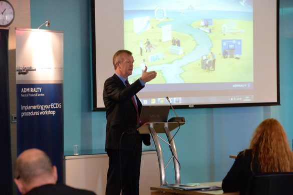
27 May 2014 – Free ECDIS Seminars and ADMIRALTY product demonstrations at Posidonia The United Kingdom Hydrographic Office (UKHO) has announced that it will be holding a series of seminars on…

QR Codes now added to over 3, 000 ADMIRALTY charts, bringing digital benefits to paper chart users. In an initiative to deliver the benefits of digital solutions to users of…