


UK Hydrographic Office headquarters in Taunton
Britain ready to lead the world on G7 Healthy Oceans commitments
- This month the G7 signed a commitment to healthy oceans and ocean science
- Seven commitments are outlined in the Charlevoix Blueprint for Healthy Oceans, Seas and Resilient Coastal Communities
- Britain’s world-leading hydrographers and marine geospatial specialists at the UK Hydrographic Office are committed to spearheading G7 action on pledges
TAUNTON, 28 JUNE 2018 – Ocean plastics, coastal resilience and the Blue Economy were high on the agenda at the G7 summit in Canada earlier this month, where a commitment to support and drive ocean science and sustainability was signed. The Charlevoix Blueprint for Healthy Oceans, Seas and Resilient Coastal Communities sets out G7 commitments on ocean plastics, and creates a blueprint for the development of a more sustainable and climate-resilient future for oceans and coastal communities, with a focus on ocean science and effective, transparent data gathering and utilisation.
As a leading maritime nation, the UK is well placed to support many of the goals set out in the Blueprint and is ready to spearhead the expansion of global interest in ocean data. Through the UK Hydrographic Office’s (UKHO) marine geospatial expertise, the organisation is well placed to support the delivery of many of the commitments set out in the Blueprint. Marine geospatial information provides the foundations for critical decisions affecting trade, maritime safety and security decision-making, the sustainable use of marine resources and development of marine infrastructure, as well as protecting habitats and ensuring resilience against forces of nature.
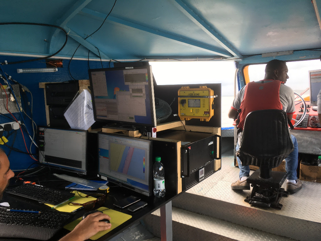
As well as supporting the UK’s position as a great maritime nation, the UKHO is also the Primary Charting Authority for 71 other nations around the world, and supports safe navigation globally through the provision of nautical charts, publications and services to over 90% of large ships trading internationally. In addition, the UKHO is currently working with partners on two programmes across the globe to support emergency preparedness and recovery, support the management of coastal zones, expand ocean data observation and seabed mapping, and manage fisheries and marine protected areas (MPAs) – all initiatives identified by the Blueprint as priorities for healthy oceans and economies globally.
The UKHO is contributing to projects across 31 coastal states. The Overseas Territories Seabed Mapping Programme, funded by the UK Government’s Conflict, Stability and Security Fund (CSSF) and co-ordinated by the Foreign and Commonwealth Office (FCO), is focused on undertaking seabed mapping in territories under the jurisdiction and sovereignty of the UK, such as Anguilla, the British Virgin Islands (BVIs), the Cayman Islands and Montserrat. Furthermore, the UKHO also plays a leading role in the FCO’s Commonwealth Marine Economies (CME) Programme, alongside the Centre for Environment, Fisheries and Aquaculture Science (Cefas) and the National Oceanography Centre (NOC). The CME Programme aims to unlock over £2bn return for the economies of 17 Small Island Developing States (SIDS), some of which are the most economically vulnerable states in the world, through a range of Blue Economy developmental work.
|
|
|
|
|

|